The Venice Agreement for Peatlands: Third Biannual Meeting and Workshops
Theme Capacity building

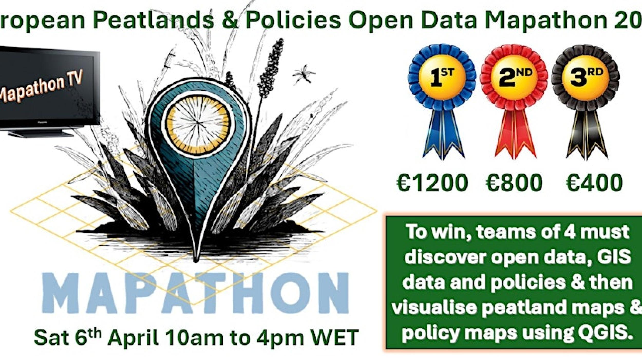
Join us for our Peatlands & Policies Open Data Mapathon on Sat 6th April 10am to 4pm Irish & UK time (CET+1, EET+2).
We will be mapping peatlands and policies using QGIS (or any other mapping tool) to help us to improve biodiversity and reduce GHG emissions by combining GIS datasets with open datasets with links to relevant policy documents. Training in QGIS will be provided if required.
The main target audience for the Mapathon is third level students and young professionals. We also need volunteers to join our Mapathon support team. The only qualification required is enthusiasm.
Join us at the Data Science Institute, University of Galway and Online across Europe for a day of mapping and exploring peatlands. Whether you're a seasoned mapper or a newbie, come and contribute to mapping peatlands and policies using open data. This hands-on event will help us better understand and protect and restore our peatlands. Join us in person in Galway if you can, or online. The event will be broadcast live on Mapathon TV aka zoom and youtube. All you need is a laptop, some enthusiasm, and get ready to map away! See you there!
Theme Capacity building
Theme Other
Theme Conservation
Theme Climate and GHG