NEW Online Global Peatland Map & Asian Peatlands Story Map: Presenting the best in peatlands mapping
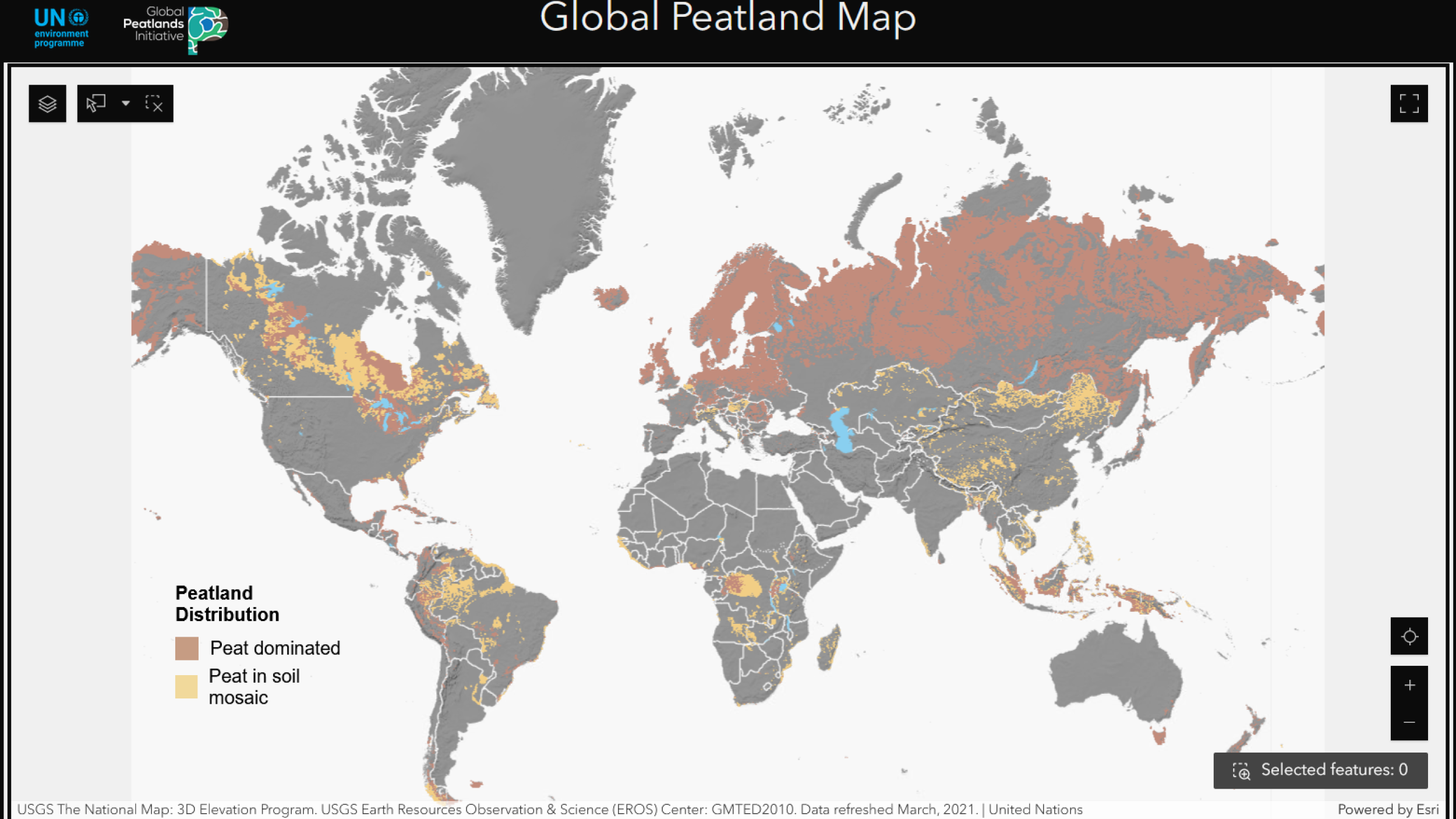
If you do one thing today, take a look at the brand-new Online Global Peatland Map, which is now live! The multi-layer, interactive version of the Global Peatlands Map 2.0, launched by the Global Peatlands Initiative and its partners (including the Greifswald Mire Centre), illustrates the most comprehensive data on peatland distribution around the world. It enhances our core knowledge of the location and extent of peatlands worldwide, and serves as the foundational map for the GPI's Global Peatlands Assessment, which consolidates the best available science to provide a comprehensive global overview of the state of the world's peatlands. The data primarily originates from scientific publications on soil and peatland research, as well as from other external sources such as national agencies and online repositories.
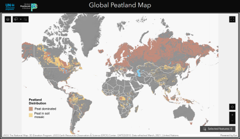
Developed in collaboration with UNEP's World Environment Situation Room, the Online Global Peatland Map encompasses eleven pages covering a variety of thematic layers such as peatland extent per country, greenhouse gas emissions, hotspots of biodiversity, peatlands within protected areas, and fire hotspots. Different layers of the map allow the user to correlate peatland distribution with other geographical features such as major lakes or country boundaries.
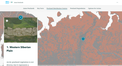
In addition to the Online Global Peatland Map, a set of "Peatlands in the Continents" Story Maps is being delivered to zoom in on regionally specific peatlands data. The first one to go live now is the Asian Peatlands Story Map, with key facts on peatland distribution, peatland degradation, and options for action in a visually intuitive, easy-to-navigate format. Have a browse!